 Home Save Chabot History EBRPD Watch Biotics Contact Us Links Views of Project Site
Click or scroll to view images:
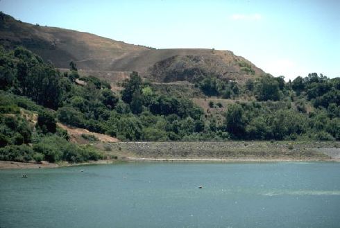
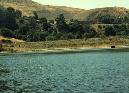
Across the Lake
The City's Environmental Impact Report (EIR) never shows all three terraces (benches) where housing units are planned. This photo shows all three benches in relation to Lake Chabot. The first flat area above the dam is Lake Chabot Road. The next flat (higher and to the left) is "Bench C". The next is "Bench B". "Bench A" is on the top of the hill at the center of the photograph. As this photo shows, housing units will be highly visible at Benches A, B and C. Bass Cove Trail: Along the Lakeshore
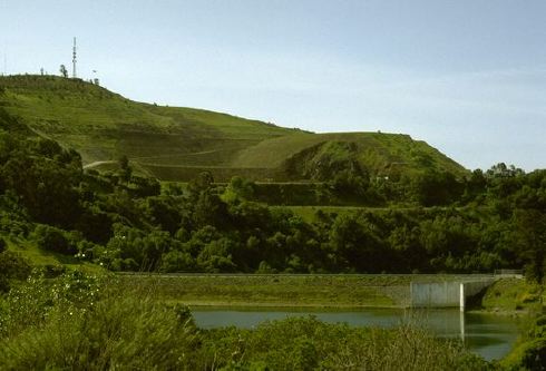
Bass Cove Trail offers a scenic retreat for hikers. If proposed housing units are built above Lake Chabot, this remote wilderness setting will be lost. All three housing benches are visible from this location.
Bass Cove Trail
A typical view along the remote Bass Cove Trail. If the housing project is approved, park visitors will view a terraced subdivision overlooking this section of trail.
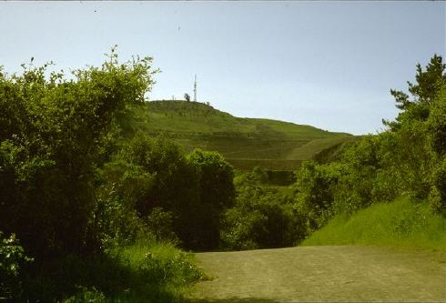
Above the Dam
Along the trail to Lake Chabot Dam from the Estudillo Gate entrance. Another view of the three areas where housing units are planned.
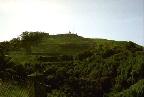
Proposed housing site as viewed from the northern waters of Lake Chabot. last revised: February 11, 2022 |